


Rehabilitation technologies for degraded water systems presenting quantity and quality problems
About us
RESEARCH AND EDUCATION CENTER FOR PRACTICAL APPLICATIONS OF ENVIRONMENTAL MANAGEMENT AND ECOLOGICAL SERVICES "DAN MANOLELI"
The center was founded by Prof. Dr. Dan Manoleli (1942-2010) to catalyze, from an ecological perspective, interdisciplinary cooperation between scientific fields that address environmental problems.
When the center was established, it had the approval of the managements of the faculties of Biology, Geology and Chemistry. Administratively, the center belongs to the Faculty of Biology.
What we do
Other projects

INFRABIM
Modernization and maintenance of the CD INFRAstructure for BIogeochemestry of Micro elements
MECOTER
Mathematical modeling of key mechanisms involved in the mobility of metals in terrestrial and wetland ecosystems – MECOTER

PECOTOX
Economic evaluation procedure of the retention of stable toxic pollutants in fluvial systems – PECOTOX
FITORISC
Phytoremediation procedure and risk assessment in areas contaminated with metals
Researching for Romania
Be with us in the initiative we have
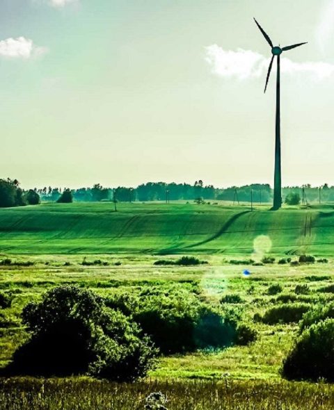
Protecting nature should be a way of life for each of us, not just a slogan. Nature is the place where we recharge with energy after a stressful day at the office, from nature we take our food and water so vital to life, in short nature means life. We are constantly working on a project to help us protect nature and, in order to do this more easily, we also need your help.
The first realization of the project
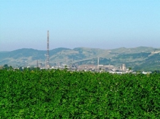
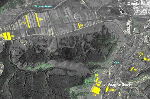
The first set of PUBLIC georeferenced data in Romania regarding metal pollution in a severely affected area (Copşa Mică). Download the data from 2009 here and you can process it in GIS. A quick view of the sampling points can be done by reading the article published here (details can be found in reports 2 and 3 available on the reports page).
The second realization of the project
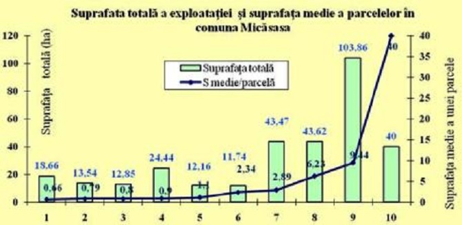
A methodology and the first balance of heavy metals at farm level in order to optimize management.
3th realization of the project
The database with the farms affected by pollution in the localities of the Copsa Mică area (download it here), people we will support with an expert system for optimizing technologies under the conditions of the presence of metals.
4th realization of the project
Methodologies for establishing the favorability of crops and optimizing technologies in areas contaminated with metals.
5th realization of the project
Important progress in the direction of integrated modeling of the dispersion of metals to agrosystems and the bioaccumulation of metals in crop plants, so that we can anticipate the changes over time in the contamination conditions in agricultural lands.
6th realization of the project
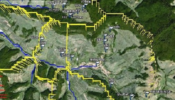
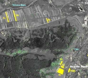
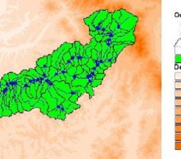
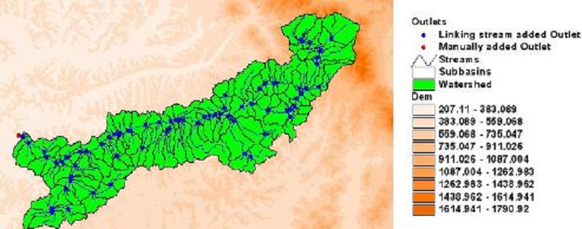
Extensive spatial analysis using satellite images of agricultural land with potential contamination problems in four hydrographic basins: Târnava mare, Ampoi, Aries and Geaogiu. To see how extensive the market is for public products of the kind we will create in this project.
7th realization of the project
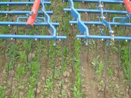
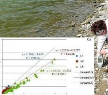
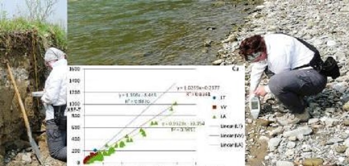
The development of a rapid direct in-field investigation method of metal pollution, using magnetic susceptibility and field XRF, which allows the easy characterization of agricultural land contamination in the above-mentioned basins. Farmers need access to cheap methods for a quick assessment of their problems, but at the same time to safe methods from an analytical point of view by calibrating them on Romanian soils. We do the calibration not only by working in the field, but also by using our bases of soil samples already analyzed by established methods.
Our achievements
Gallery